Summer of Colorado, Week #4
Greetings from Salida, CO! We seem to keep coming back here as it's one of our favorite spots in Colorado. It's a small mountain town along the Arkansas River with a cute little downtown with lots of great shops and restaurants. There's even municipal hot springs which we took advantage of last time we came through. Plus there's ample boondocking opportunities right outside of town which is a big plus for us!
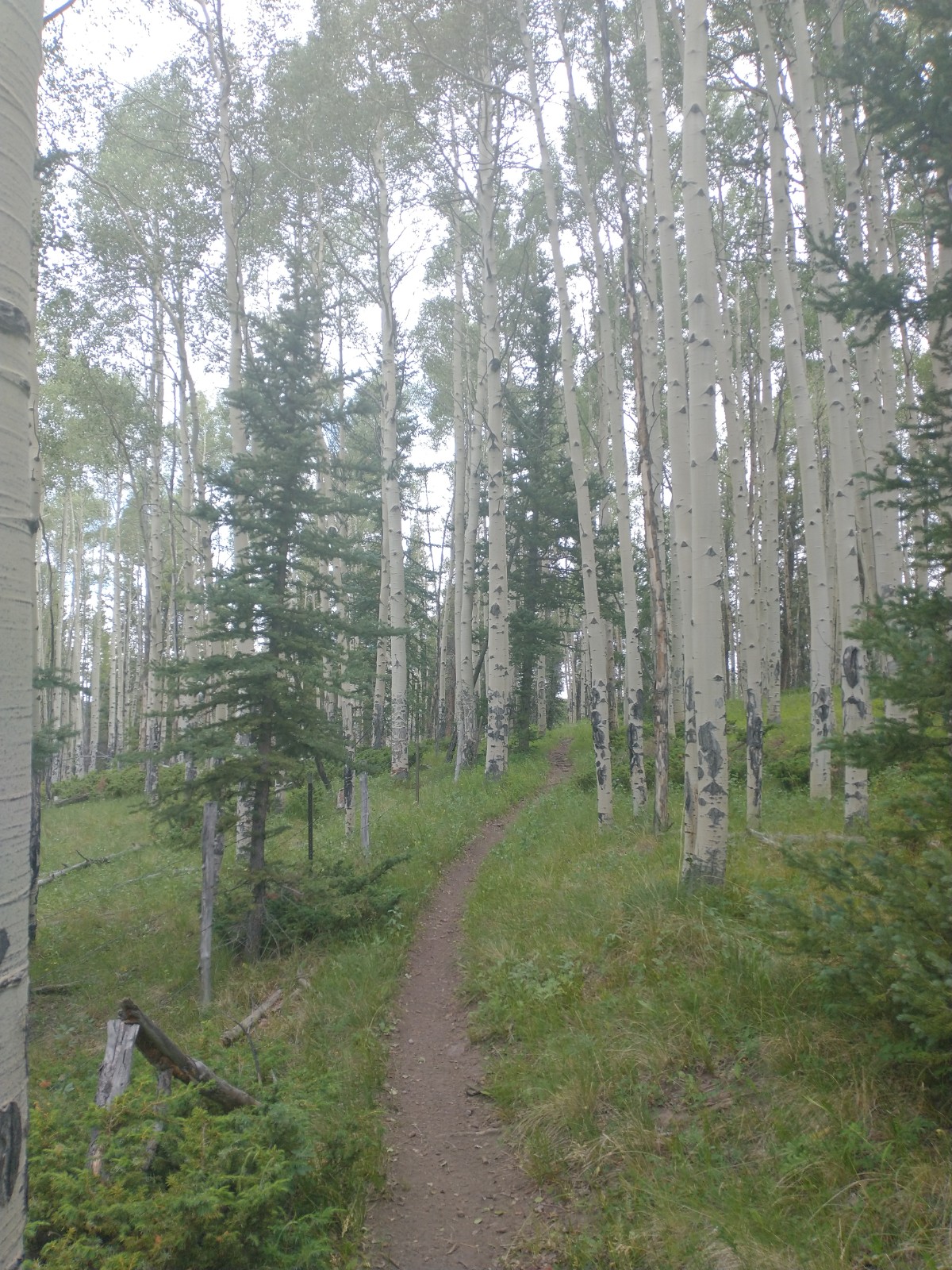
I've now completed 230 miles of the Colorado Trail (CT) from Durango to Monarch Pass. It's taken me 11 days so I'm averaging just over 20 miles per day. For the last few sections, Ginny has supported me at road crossings which have been every fifty miles or so. It's been great to have the support as I don't have to carry as much food and don't have to hitchhike into nearby towns to resupply as other through hikers do. The hiking has been really nice for the most part - lots of high alpine scenery, lush meadows with wildflowers and tons of rivers and lakes scattered throughout. There have been a few dry stretches where I've had to carry 3-4 liters of water as there haven't been reliable water sources for 20+ mile trail segments. The weather tends to be sunny in the morning and into the early afternoon when thunderstorms start to form in the mountains. So I've been getting up early to try to get as many miles in before the storms hit. If it's just rain, I don't really mind hiking in the rain but often times there are electrical storms and it's not advisable to be above treeline when lighting bolts are falling from the heavens.
I'm one of only a handful of people this summer who are hiking the CT northbound. Whereas, I probably see at least 30 southbound hikers on the trail every day. Most people do the hike southbound as the mountains outside of Denver are not nearly as high as the San Juans at the southern end of the CT. So by going southbound, hikers are able to gradually acclimate to higher elevations as their hike progresses. The CT is very well marked but I've still managed to get lost a couple times. I'm old school and just navigate using a map and compass so I don't have any kind of new fangled GPS unit that beeps at me the moment I step off the CT. Now that Ginny's about to join me for the next 160 miles of the trail, I'm going to try to do a much better job of keeping us on route without any unwanted 'bonus miles'. The final thing I'll say now about the whole CT experience is that the other hikers on the trail are very friendly, helpful and just generally good folks. We all help each other navigating the water spots, good campsites and sharing any weather reports that we may have. It's a good community of people that are all out here for different reasons but all appreciate the great outdoors and being able to hike through such varied and remarkable country.
Before I close out this post, I thought I'd share some funny lingo that I've picked up on the CT. First of all, through hikers are all supposed to have trail names that they use instead of their real names. I know, kind of goofy and juvenile but it can be fun if you decide to embrace it. From what I've gathered, trail names must be given to you by someone else so you can't decide what your own trail name will be. So far, I've met Easy Going, Zoomie, Bean Dip, Monkey Paw and Sawyer. My trail name is Yardsale which was given to me years ago by my friends Paul and Kevin as my stuff is always all over camp and it often takes me a little while to gather it all up before hitting the trail. A couple other interesting through hiking terms that I've learned are Zeros (days when you get off the trail and don't hike at all) and Neros (days when you get off the trail and barely hike at all). Everything has its jargon and through hiking is no different! See photos below of our Colorado adventures from the last week or so.


Comments
Post a Comment